Our clients get the most satisfaction from our services when they understand more about what we do. Here at Gilmour Land Surveying, we aim to provide you as much information as you require to help you through the process.
Here's the process we follow at Gilmour Land Surveying:
- First, we give you an estimate.
- Next we arrange a date to send people out. If tenants, neighbors, or security guards need to be notified you will have time to let them know.
- If you have a Professional that will be using the product we like to discuss their special concerns or needs.
- Any additional research is done.
- The field survey starts. The Map is usually mailed or delivered along with a digital ".dwg" file.
- Deed:
- This document is used to transfer land between owners, it contains information about who sold, who bought, and a legal description that describes the parcel in survey terms. To survey your parcel the surveyor needs a copy of your deed.
- Title report:
- The title report is an insurance document that contains the information about what is insured, usually your legal description from your deed, and a list of exemptions that is not covered by title insurance. This list can contain many different types of exemptions. Easements that affect your property are listed here. Some projects require a copy of the title report to prepare the survey.
- Boundary surveys:
- The locating or replacing of property corners, and locating the improvements on the property in relation to the line.
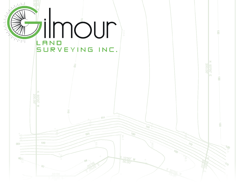
- Topographic surveys:
- The careful measurement of the elevation and features of the property, used by design professionals to create site, and drainage plans.
- Tentative map:
- The combination of boundary and topography along with information required by the agency that reviews lot line adjustments and lot splits (city or county planning).
- A.L.T.A. / A.C.S.M. Surveys:
- Specific title surveys requested by title insurance companies and mortgage companies, they contain boundary information, location information, and optionally topographic.